Agricultural Drones

Agricultural drones are playing an increasingly important role in precision farming, helping agriculture professionals lead the way with sustainable farming practices, while also protecting and increasing profitability.
With the help of easily available Global Positioning System (GPS) tools and Geographic Information Systems (GIS) software, agricultural drones are now able to provide more intense and efficient cultivation methods, which can help farmers adjust fertilizer prescriptions or identify crop diseases before they become widespread. With more data at their fingertips, farmers can make decisions based on economic and environmental factors – for example, by optimizing fertilizer treatment and applying only the right amount at the right time, significant cost and environmental savings can be made.
The use of agricultural drones allows farmers, agronomists & agricultural engineers to help streamline their operations, using robust data analytics to gain effective insights into their crops.
Drones are particularly useful for the careful monitoring of large areas of farmland, considering factors such as slope and elevation, for example, to identify the most suitable seeding prescriptions.
Where satellites and manned aircrafts have traditionally been used to monitor agriculture, drones are quickly becoming recognized as a more accurate and cost-effective replacement. Studies have shown that drone imagery provides a higher rate of accuracy and resolution – even on cloudy days. While using traditional terrestrial approaches to collect data in challenging weather conditions could potentially delay projects for days, accurate crop health assessments can be made throughout the year using drones.

Crucially, the high-resolution nature of drone data can be used to assess the fertility of crops, allowing agricultural professionals to more accurately apply fertilizer, reduce wastage, and plan – and troubleshoot – irrigation systems. The technology can also be particularly effective following natural disasters, such as a floods, to help farmers to assess damage across terrains that may not be readily accessible on foot.
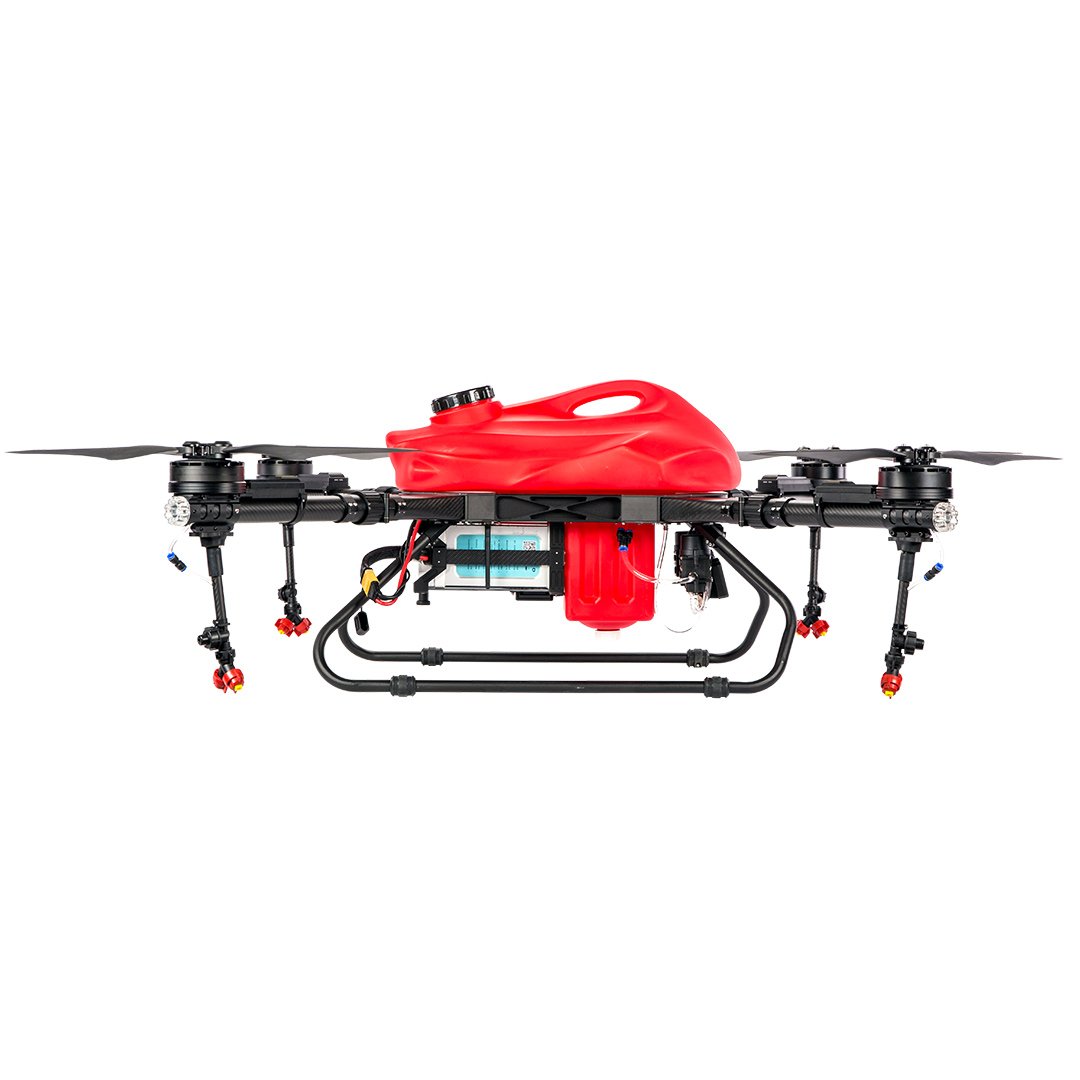
Agaltech Quadcopters
- 22 Liters/5.8 Gallons Payload
- Operating Efficiency: 100 mu/h
- 4 x Shower Nozzles
- 10-15 Minutes Flight Time per Battery
- K++ V2 Flight Control System + Skydroid H12 Remote Control with Live FOV video view

Agaltech Six Axis Drones
- 32 Liters/9.3 Gallons Payload
- With 2 Fluid Pumps
- 4 x Double Shower Nozzles
- Spray Width: 6-8 Meter/19-26 ft
- 12 hectare/30 acre per hour
- K++ V2 Flight Control System + Skydroid H12 Remote Control with Live FOV video view

Agaltech Eight Axis Drones
- 55 Liters/14.5 Gallons Payload
- Fluid Pump Flow Rate of up to 14 liters/3.7 Gallion per minute
- Sowing Capability
- 360º Sowing Angle
- K++ V2 Flight Control System + Skydroid H12 Remote Control with Live FOV video view
Frequently ask Questions (FAQ)
Not at all.
All our drones come with the robust K++ V2 Flight Control System which, together with the Skydroid H12 Remote Control and the multiple built-in protection- & guidance systems (Real Time Video with 120º Field of View with built-in LED Lights, Obstacle Avoidance Radar, Terrain Simulating Radar, etc.) make them extremely easy to operate.
The Skydroid H12 Remote Control incorporates a monitor on which, prior to every flight, flight paths can be pre-programmed. When flying manually, that same monitor relays live video feed from the drone’s 120º angle Field of View video camera for accurate control and positioning up to 5 kilometers away.
All Agaltech drones are completely collapsible after removal of the propellors and spray units.
Empty weights range from 20.5 kg / 45 lbs for the F22 model to 40 kg / 88 lbs for the F55 drone.
Flight cases are optionally available as well as a whole range of other products.